On 26/12/2022, a week before he celebrated his 85th birthday, Dov left us.
In the past year and a half we worked together on collating his research and legacy on this website.
During the final days of his life, Dov managed to complete his last article - ‘Olim to "Fronkel"‘, and to upload it to the website.
We hope that the site will continue to be used as a tool and a legacy for his life’s project.
The family
In his own words…
As a geographer and researcher of the cartographic heritage of pre-State Israel, my research interests are history of surveying and mapping, and history of aerial photography of the country. From my research I learned, and taught others, that the reasons for, and circumstances of geodetic, cartographic, and photographic activities created a corpus of visual documentation.
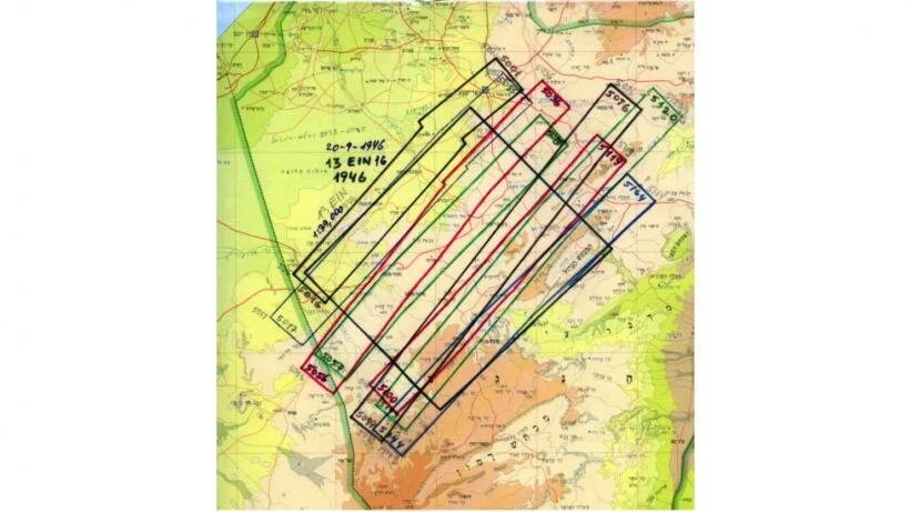
Both, maps and aerial photos, are essential for exploring and studying the land, defining temporal situation and spatial diffusion of any uncovered phenomenon. With such invaluable dimension one can trace facts and changes in the landscape, detect and follow evidence of natural and human imprints on the landscape, and illuminate historic events, sometimes unknown to people on the ground. These research means might uncover the silent creators of the visual documents, both civilian – and particularly – military, and enable tracking their motivation or stories behind their missions, that might be a chapter in the history of the country.
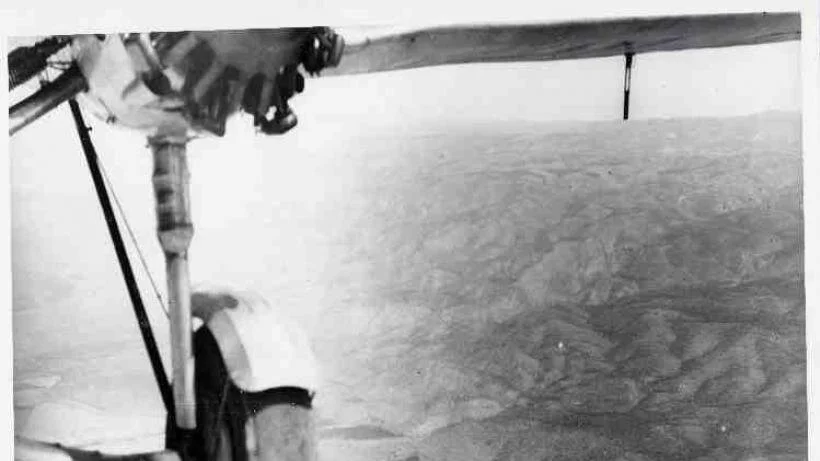
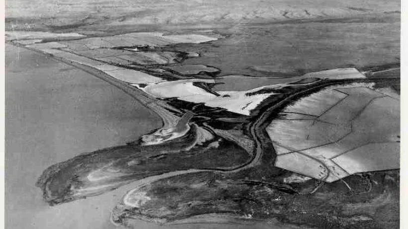
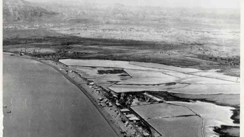
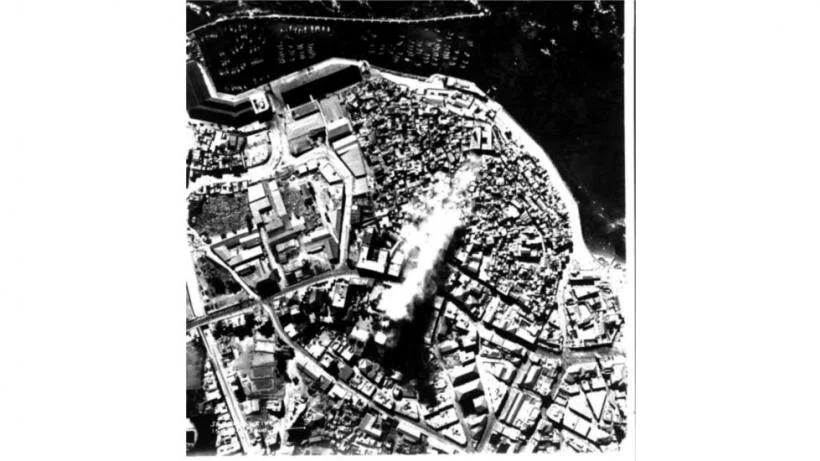
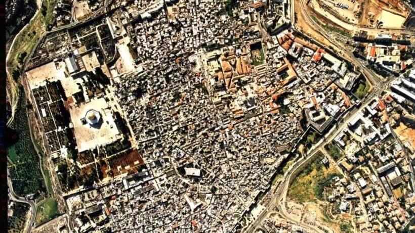
The thousands of aerial photos taken since the beginning of flight in the country, as early as 1913, and especially since World War I, and later the British mandate period, are the infrastructure on which I created the archives of historical aerial photos of Israel.
On a personal level, I have devoted years to reconstructing the circumstances of two events in my family’s involvement in the pre-State struggle for the independence of the country by the Palmach (striking force) units. My elder brother fell, together with thirteen of his comrades, in the “night of the bridges” in June 1946, in which strategic bridges were blown up. A second brother was captured in 1947, together with four others, when engaged in reconnaissance patrol along the border with Lebanon, and spent two years in jail in Beirut. I published the results of my documented research in two books that were also the basis for two documentary films.
CV
Education
DIPLOMA: Photo Interpretation in Geography, I.T.C. Delft, The Netherlands, 1970
UN/FAO: München, Germany, Remote Sensing, 1976
PhD: The Hebrew University of Jerusalem, Department of Geography, 1986
Research Interests
History of surveying Cartography
History of Aerial Photography
Military History of pre-state Israel
History of Aviation of pre-state Israel
Practice
Geography Department of the Central Bureau of Statistics, Prime Minister Office, Jerusalem, 1964-1965
"Pantomap", Photogrammetric Mapping, Jerusalem, 1965-1969
Survey of Israel, Tel-Aviv, 1970-1971
Since 1970, Department of Geography, HUJ
Since 1978, Legal consultant in aerial photo interpretation
2003 Retired
Pioneer Flights to Palestine, 1913-1914
Frank Hurley: Images of War and Peace, 1917-1918
World War I Maps
Exhibitions
Documentaries
One Grave, Only: The Night of the Bridges, 2006 (Shoshi Ben-Hamo's film).
Mom, it Over: Palmach POWs in Prison de Sables, Beirut 1947-1949, 2017 (Shoshi Ben-Hamo's film).